Streamflow Nework History

Background

The first site recording streamflow data in Mecklenburg County was 02146500 Little Sugar Creek, which was established in 1924. In 1962, the Charlotte Mecklenburg streamflow network expanded to five gaging stations:

  • 02146300 Irwin Creek near Charlotte (still operating)
  • 02146450 Briar Creek at Sharon Road (discontinued in 1974)
  • 02146500 Little Sugar Creek near Charlotte (moved to 02146507 in 1978)
  • 02146600 McAlpine Creek at Sardis Road (still operating)
  • 02146700 McMullen Creek at Sharon View Road (still operating)
wooden bridge and gaging station

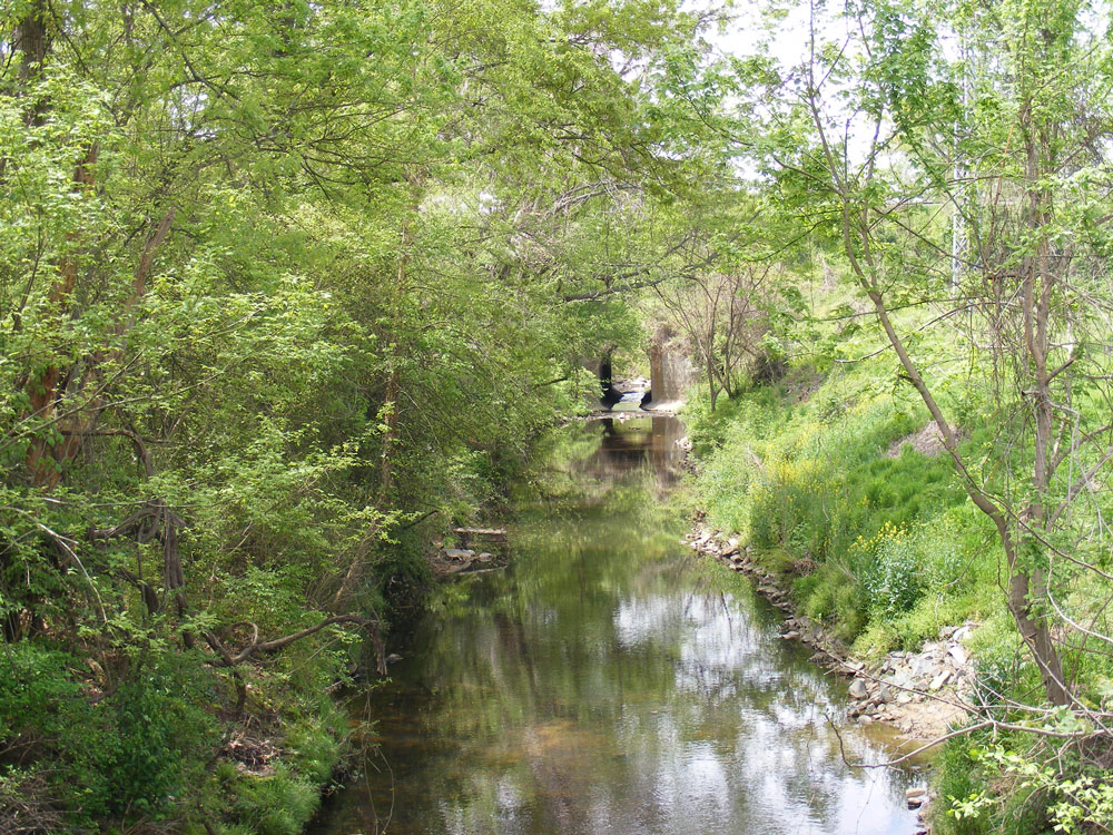
Streamgage 02146500, Little Sugar Creek near Charlotte, circa 1934

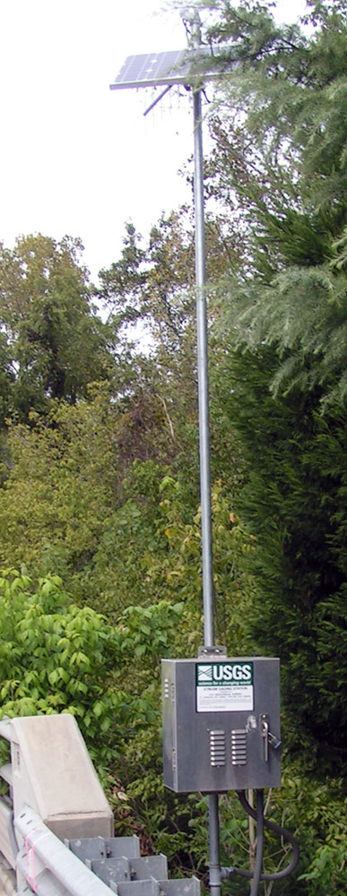
In the early stages data collection was obtained by pen and ink strip chart gages, which were maintained during routine and event-specific site visits. By the 1970's, automatic digital recorders (ADR) were installed at some sites, suitable for input into a digital computer for the storage and computation of daily mean gage height and daily mean discharge. The collection of data still required a site visit and electronic translators were used to convert the record of paper punch-tapes to a digital file for computer storage of the data. This remained the primary method of data collection until the early 1990's when electronic data loggers were introduced using landline telemetry. Sites could be queried from a base station computer at regular intervals throughout the day. By 1997 there were 15 streamflow sites collecting 15-minute gage-height data every 4 hours continuously using phone modems.

The network grew steadily and by 2005, there were about 50 sites being polled hourly. Radio telemetry was introduced to the system which allowed the entire network to be polled every hour using ultrahigh frequency (UHF) line-of-site radios. By 2010, the radio network was improved upon using an improved protocol of radio communication which allows the entire network of sites to be heard from within a few minutes after each 5-minute gage-height reading is recorded at the site. As of today (2021) there are a total 52 streamgage sites which encompass 23 gaged watersheds.

wooden bridge and gaging station

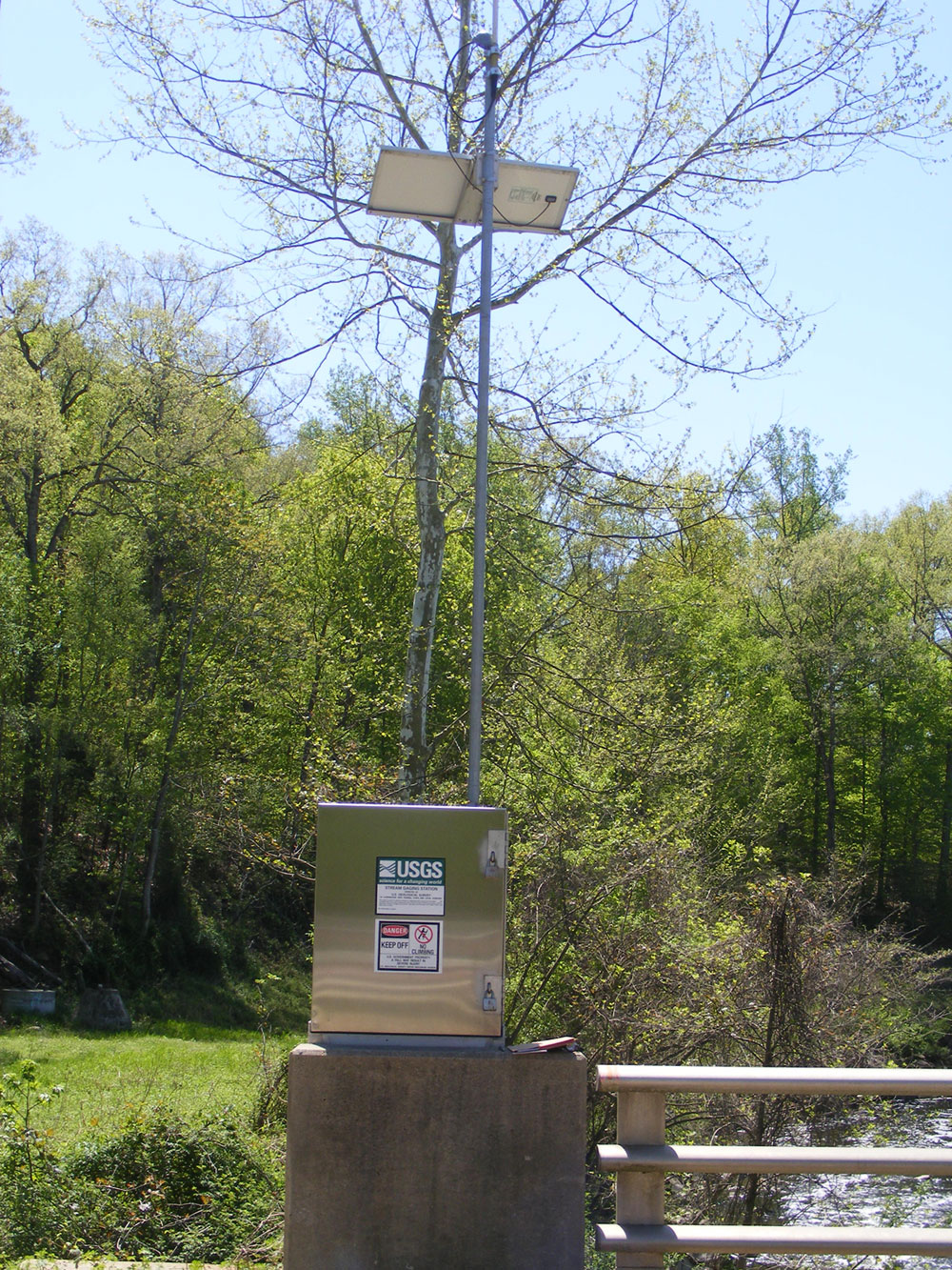
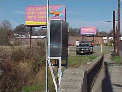
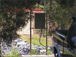
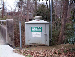
Streamgage 02146507, Little Sugar Creek near Charlotte, with radio transmitter, circa 2000

Objectives

  1. Develop and maintain a real-time network of streamgages for Mecklenburg County to document current hydrologic conditions and extreme events
  2. Provide flow data to support water-quality sampling being conducted by Mecklenburg County Department of Environmental Protection and the USGS
  3. Provide data to develop and test flow models on selected stream reaches
  4. Provide data to develop and test rainfall-runoff models
  5. Support Mecklenburg County flood mitigation efforts by providing emergency managers with early notification of potential flooding conditions
  6. Evaluate methods and hardware, and apply software to improve retrieval and dissemination of data to interested users

Approach

  1. Locate, install, operate and maintain streamgages throughout Mecklenburg County at selected sites and critical flood-prone locations
  2. Develop stage-discharge relationships at selected streamgages
  3. Research and implement new advances in technology and hardware to improve the quality of the data, and the speed and efficiency of data dissemination to all interested users, including the public

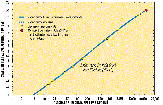
Irwin Creek Rating Curve

wooden bridge and gaging station

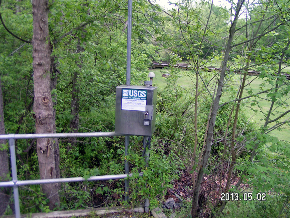
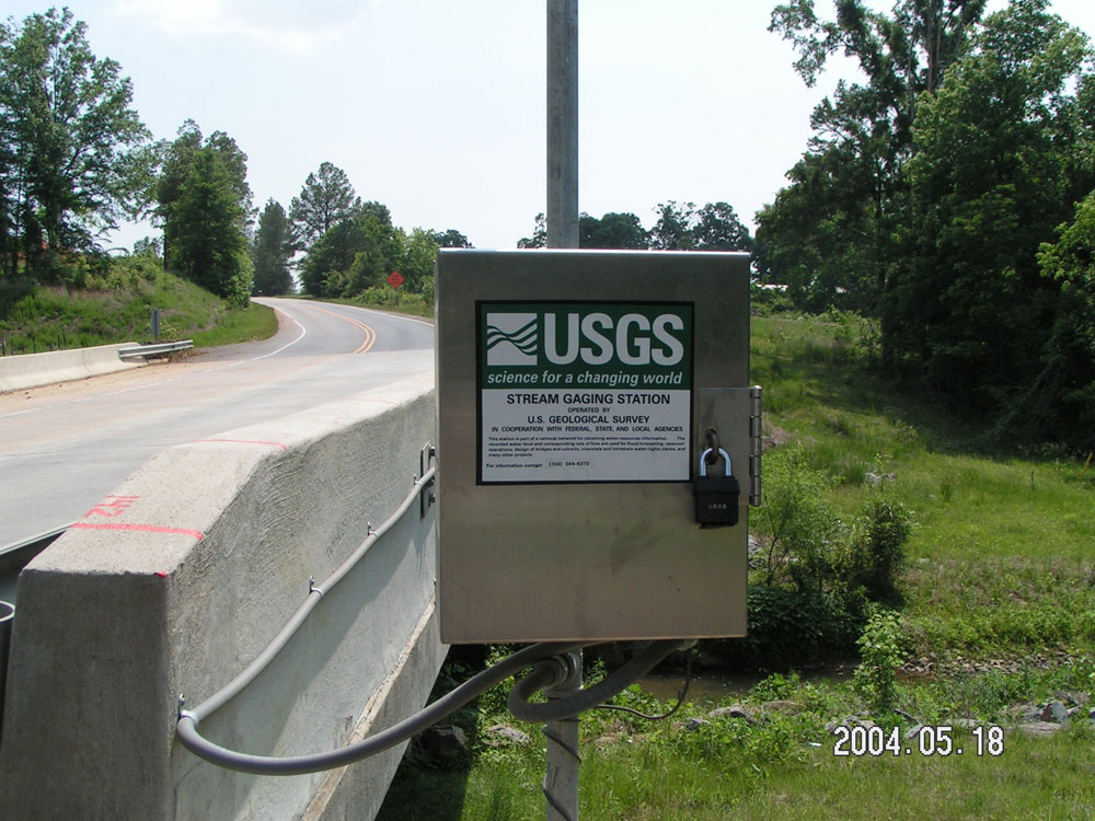
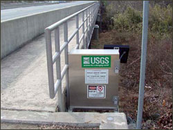
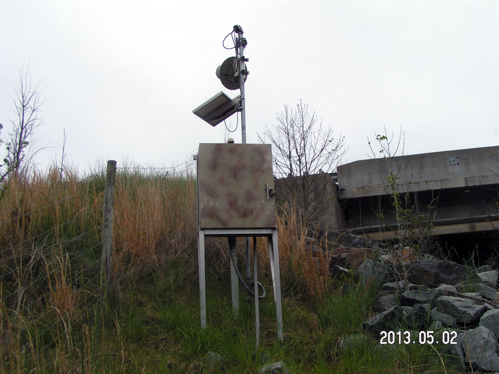
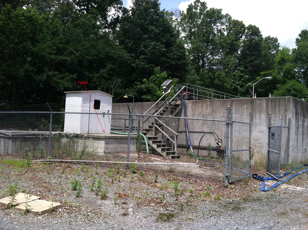
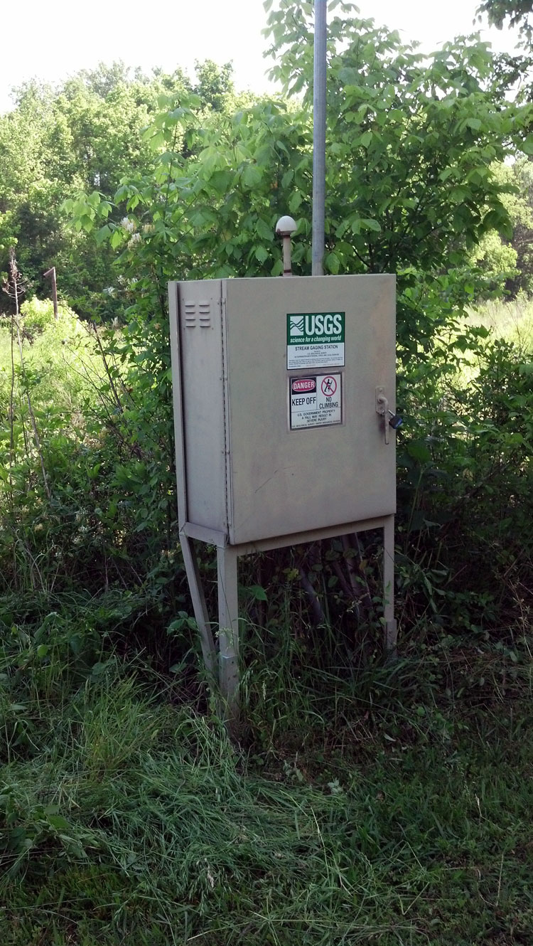
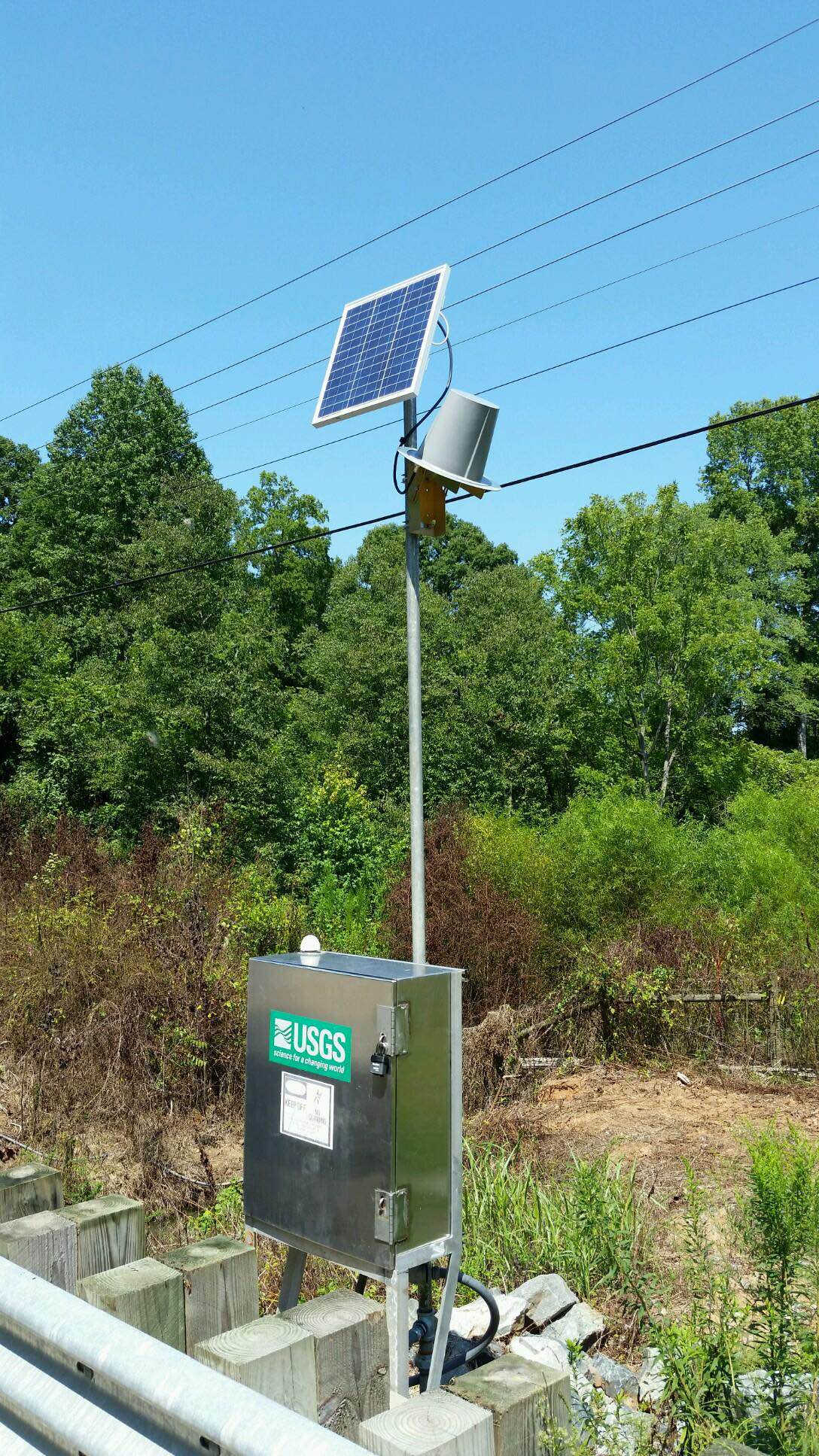
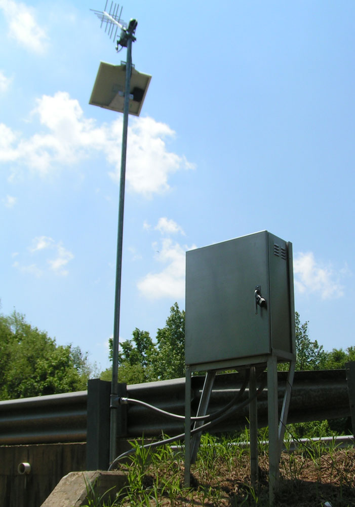
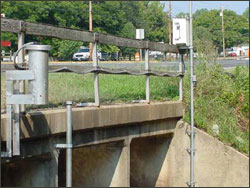
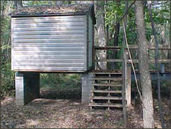
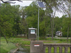
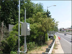
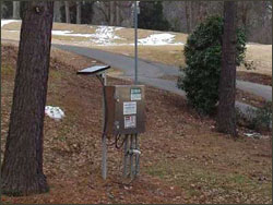
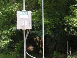
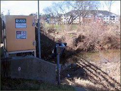
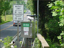
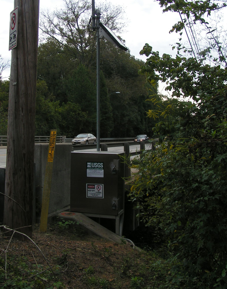
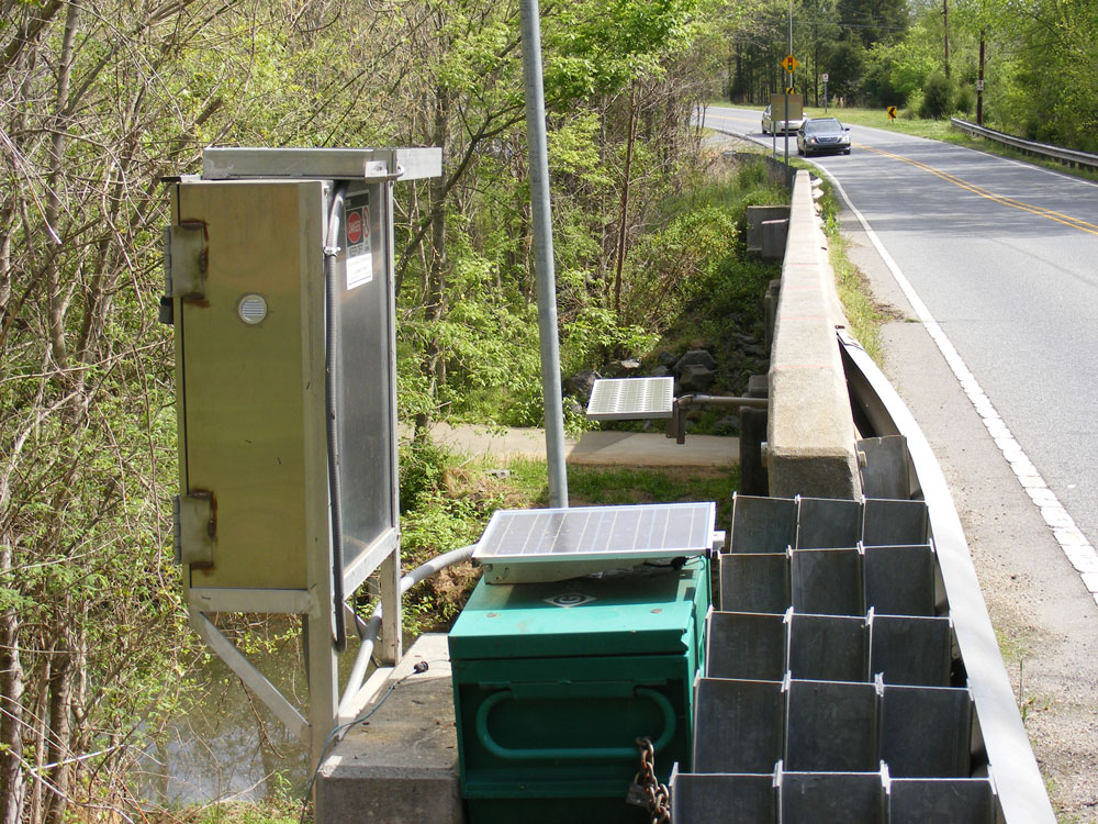
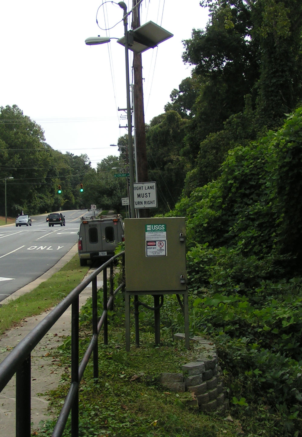
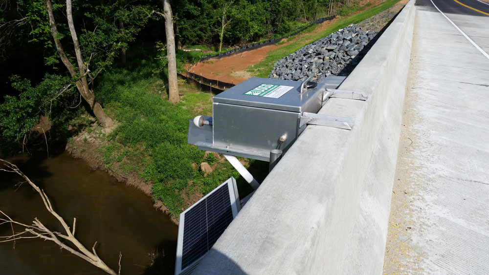
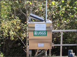
Electronic Instrumentation at streamgage 02146507
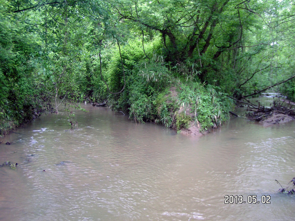
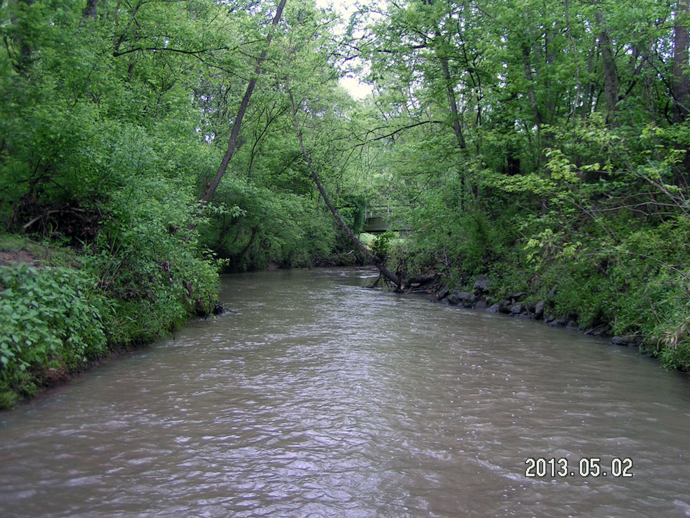
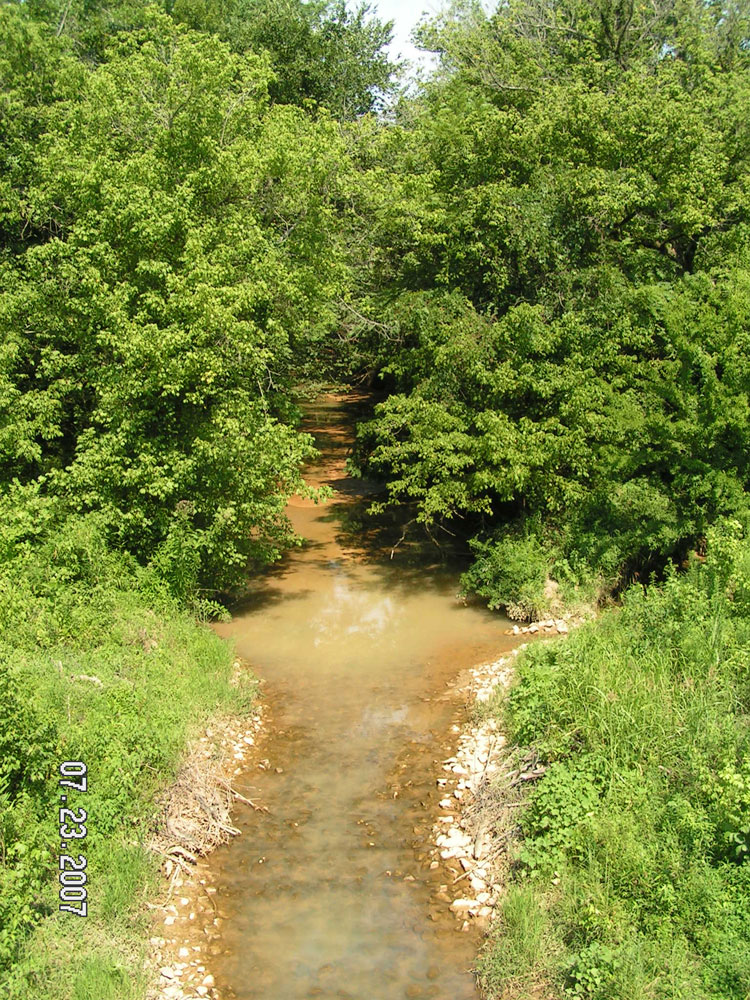
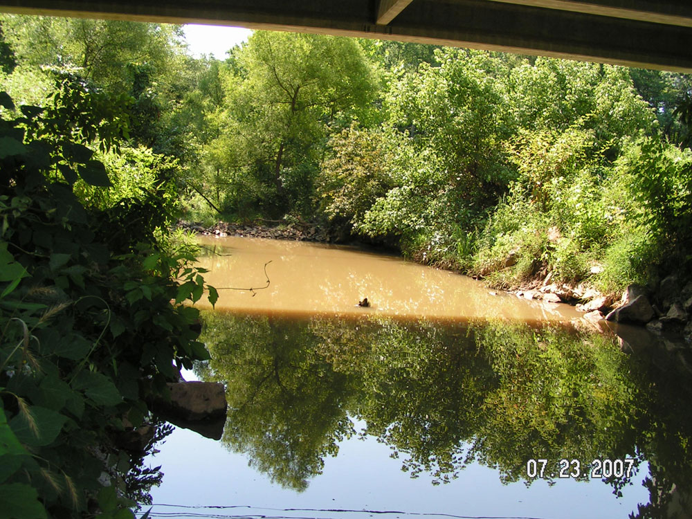
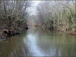
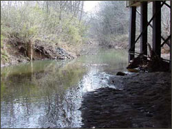
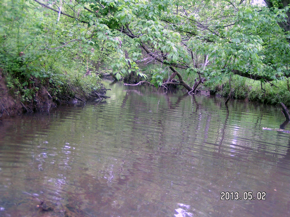
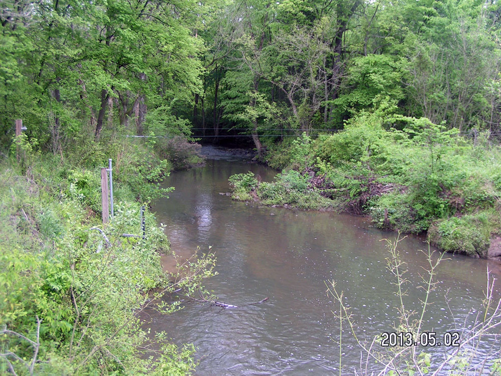
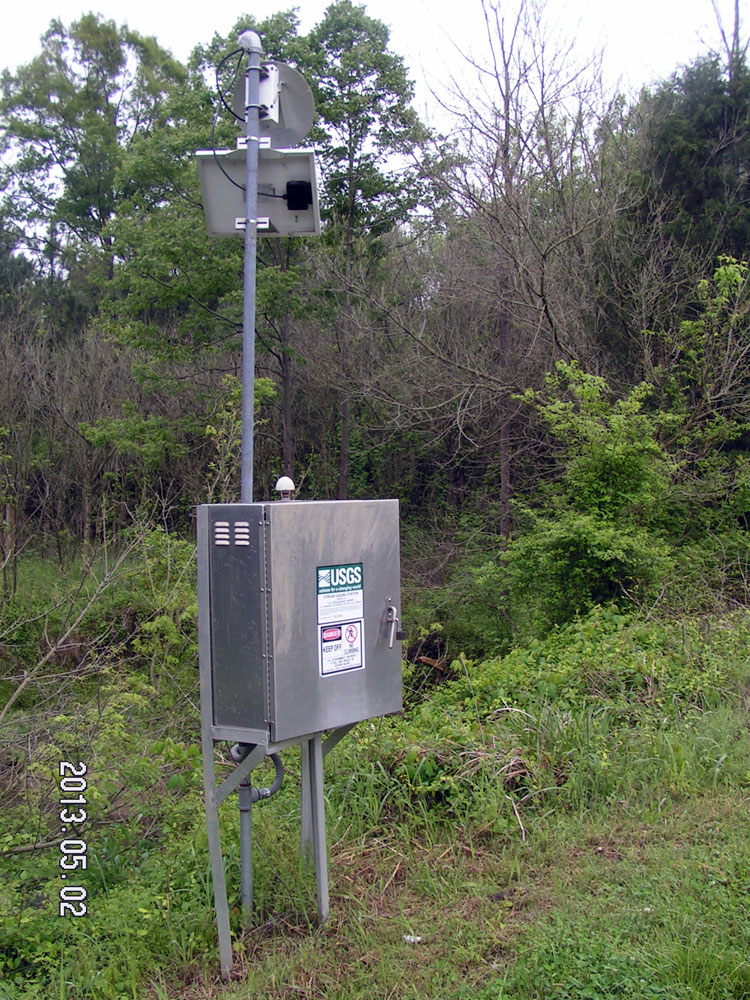
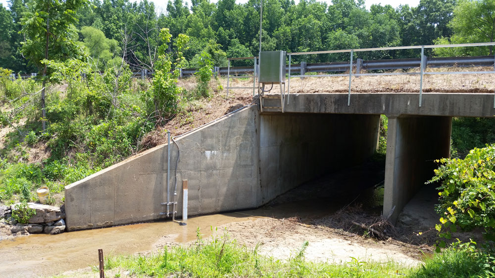
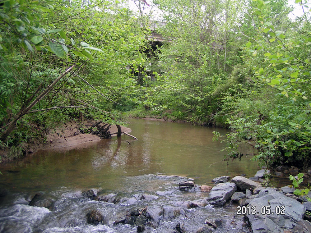
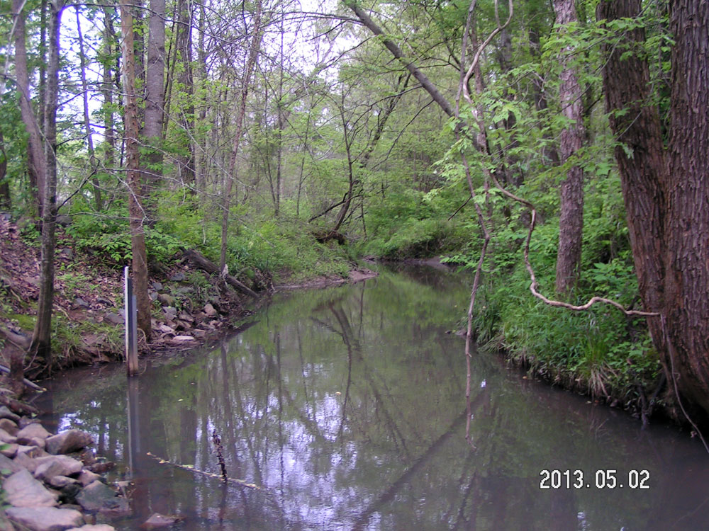
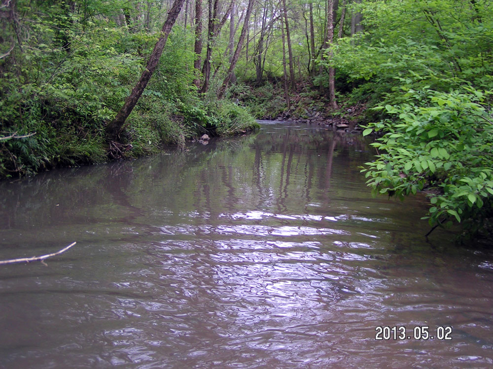
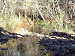
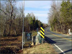
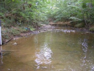
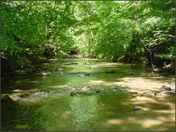
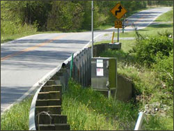
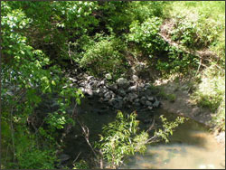
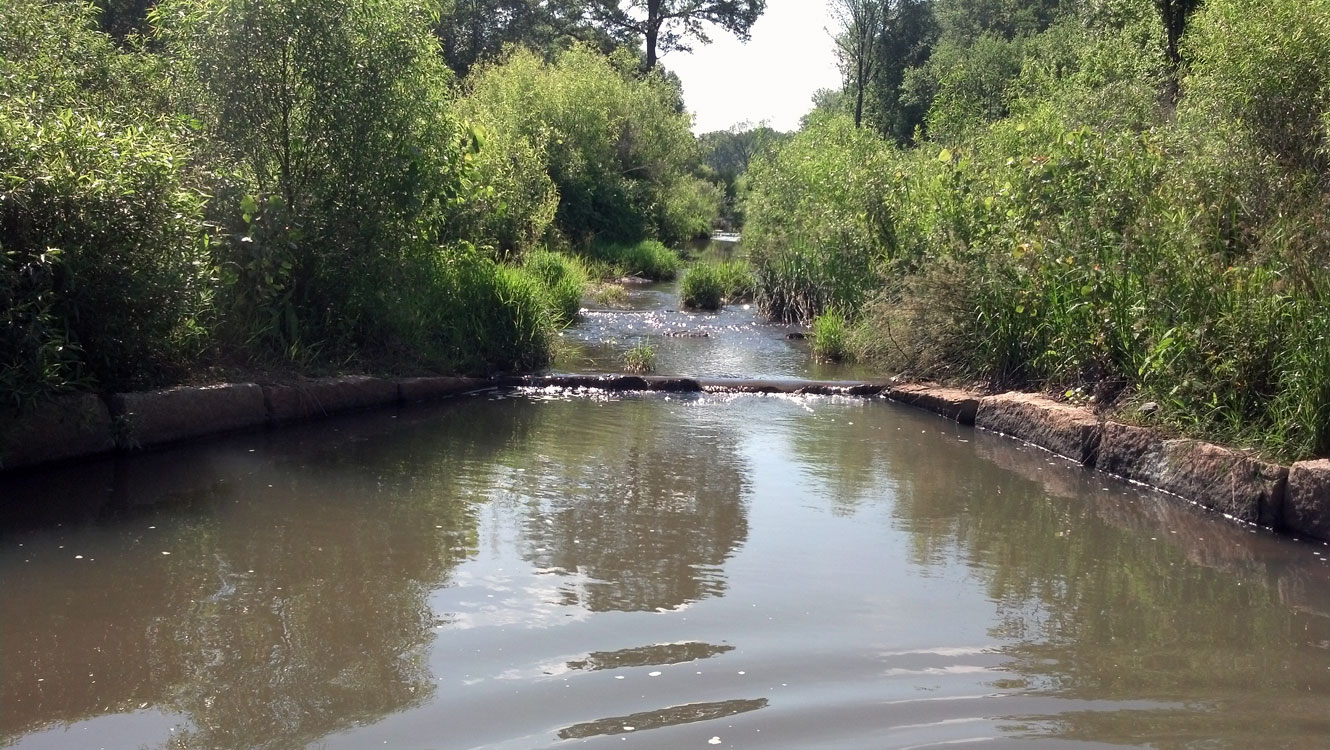
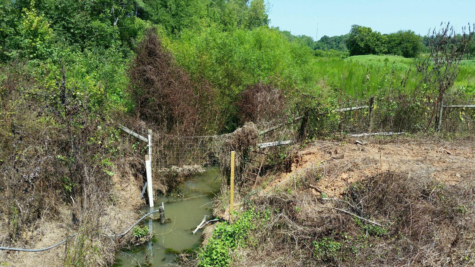
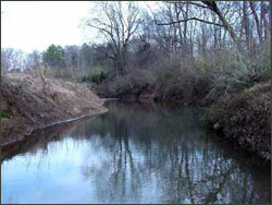
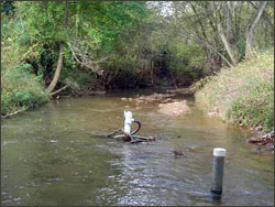
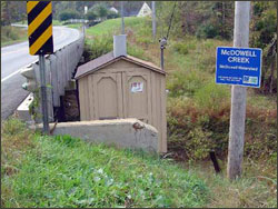
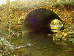
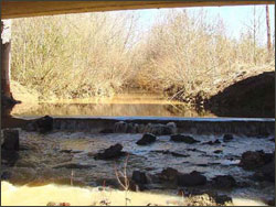
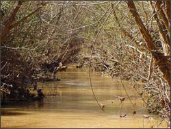
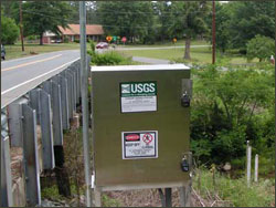
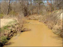
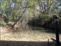
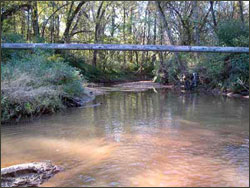
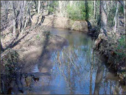
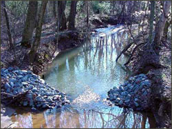
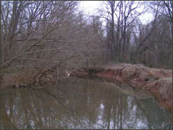
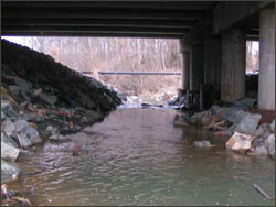
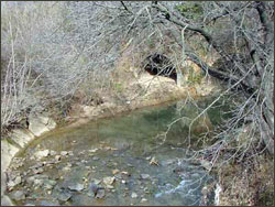
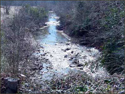
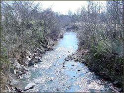
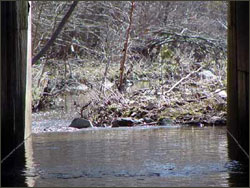
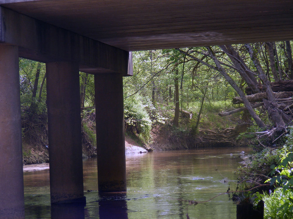
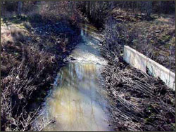
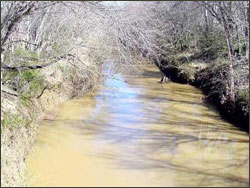
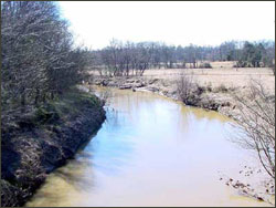
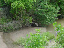
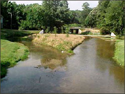
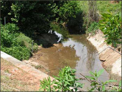
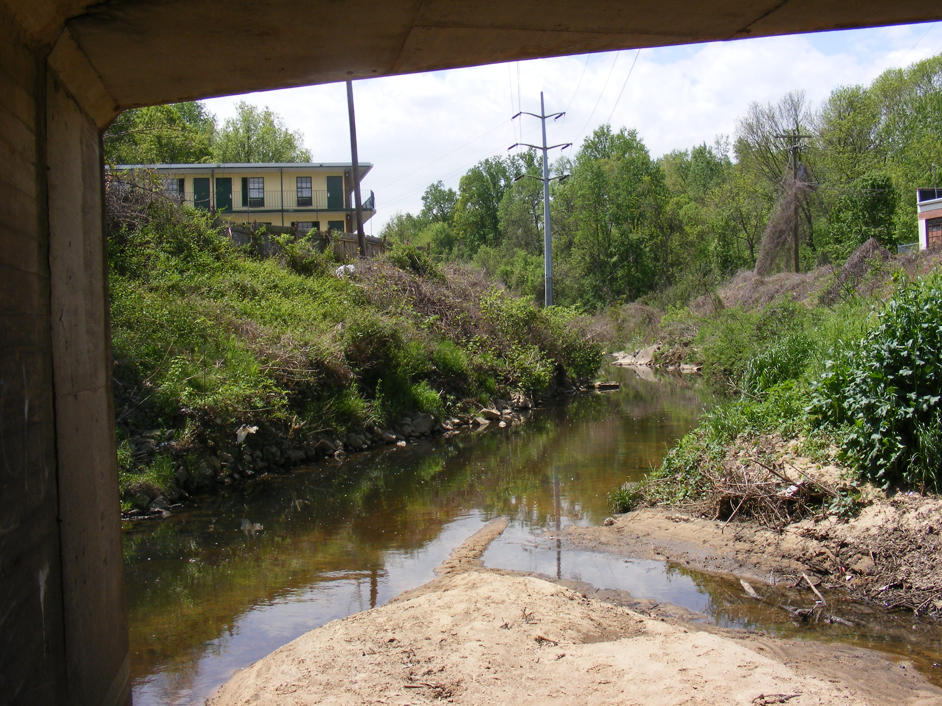
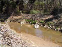
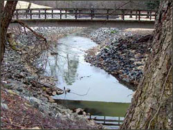
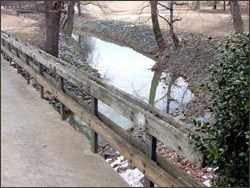
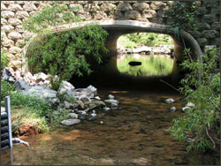
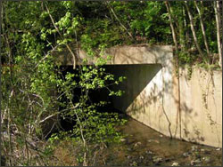
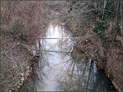
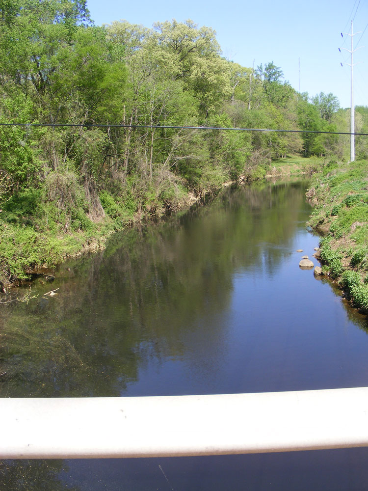
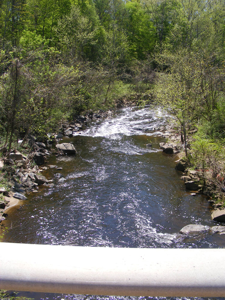
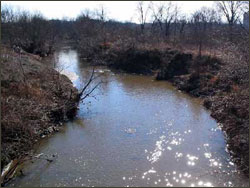
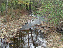
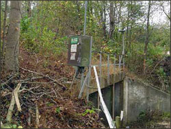
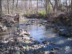
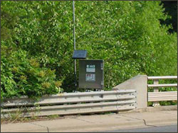
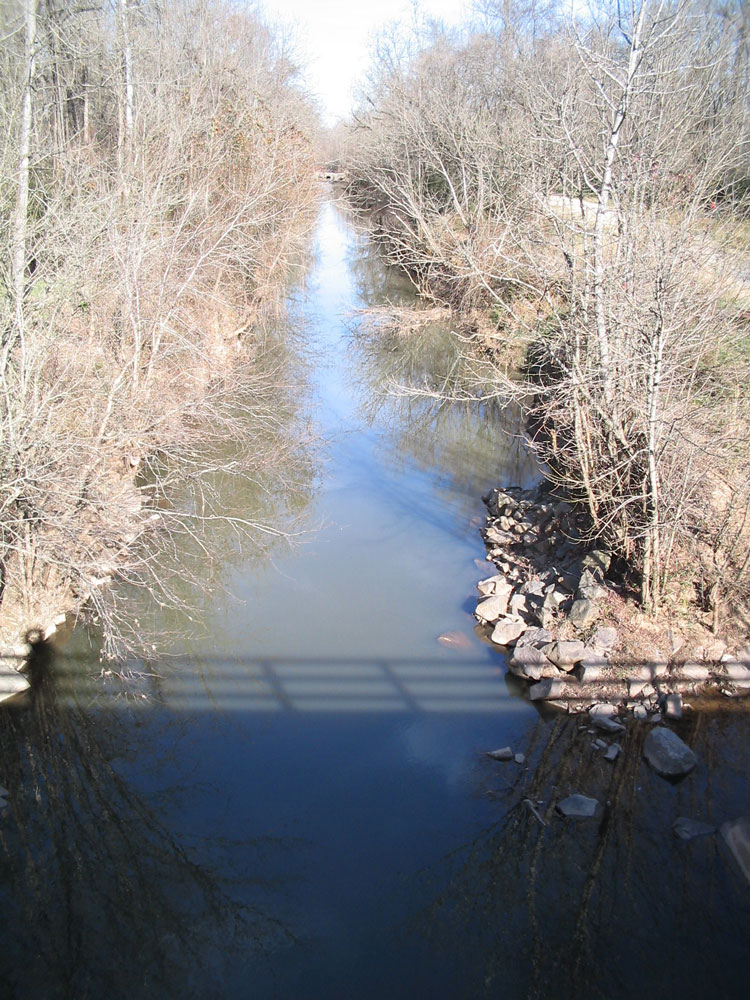
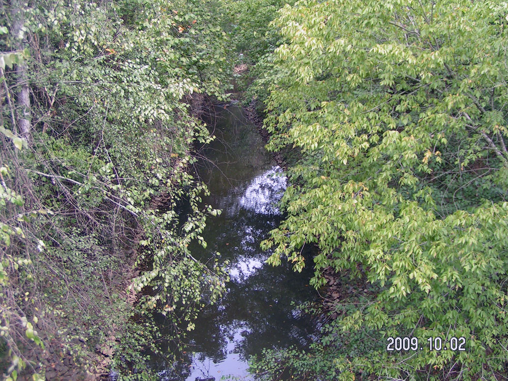
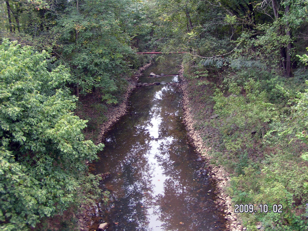
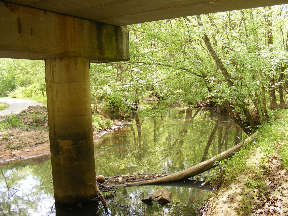
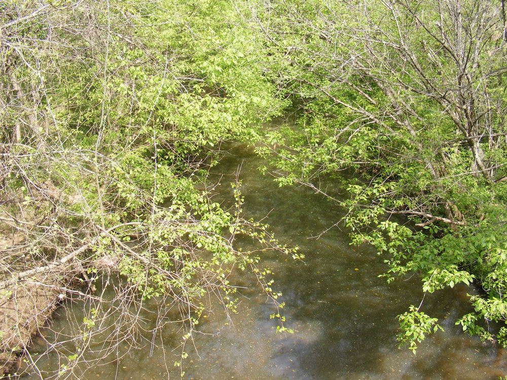
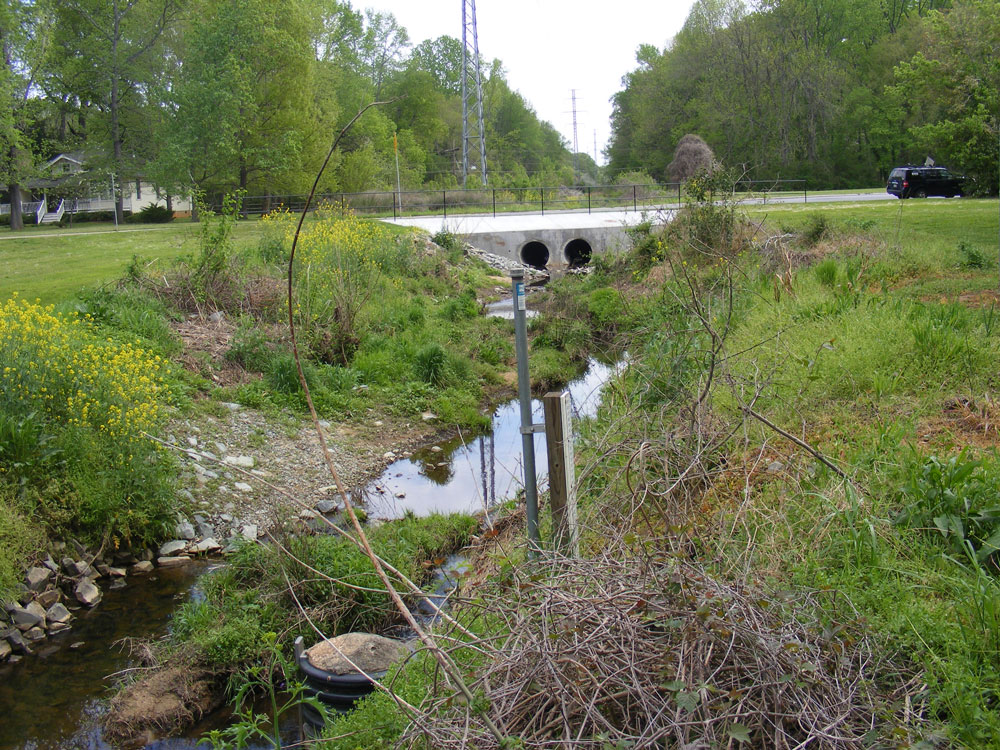
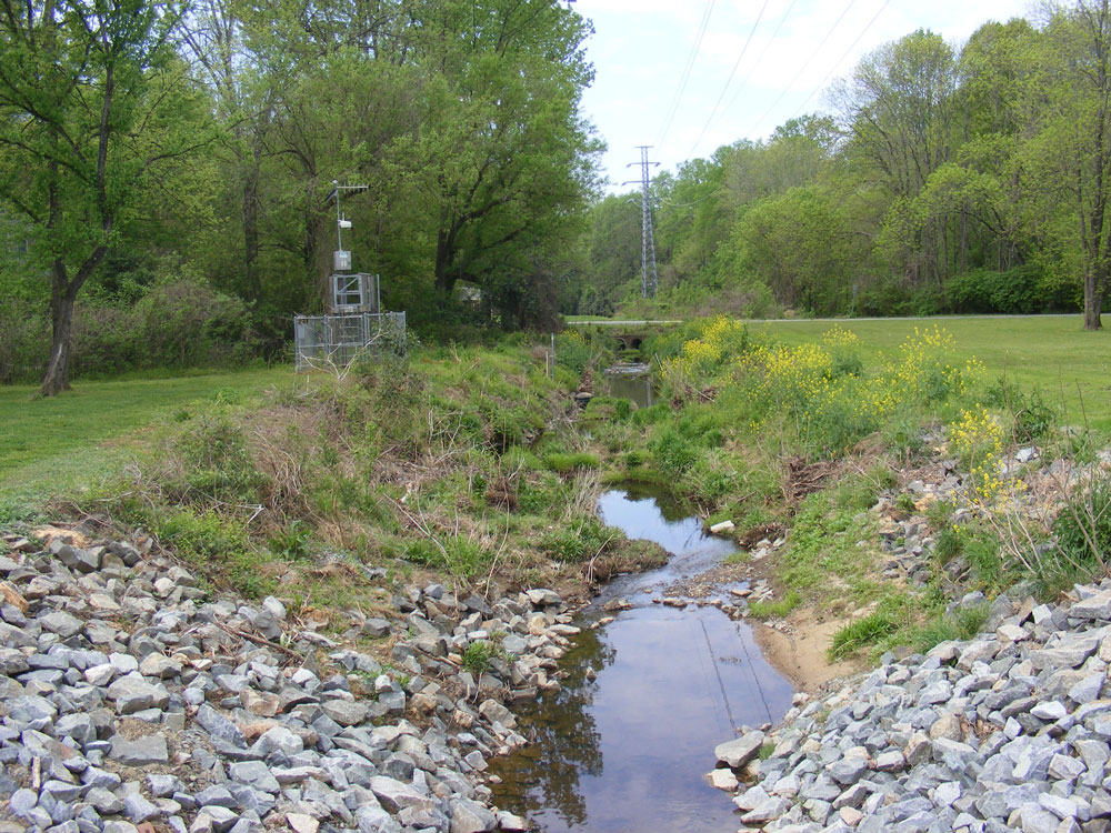
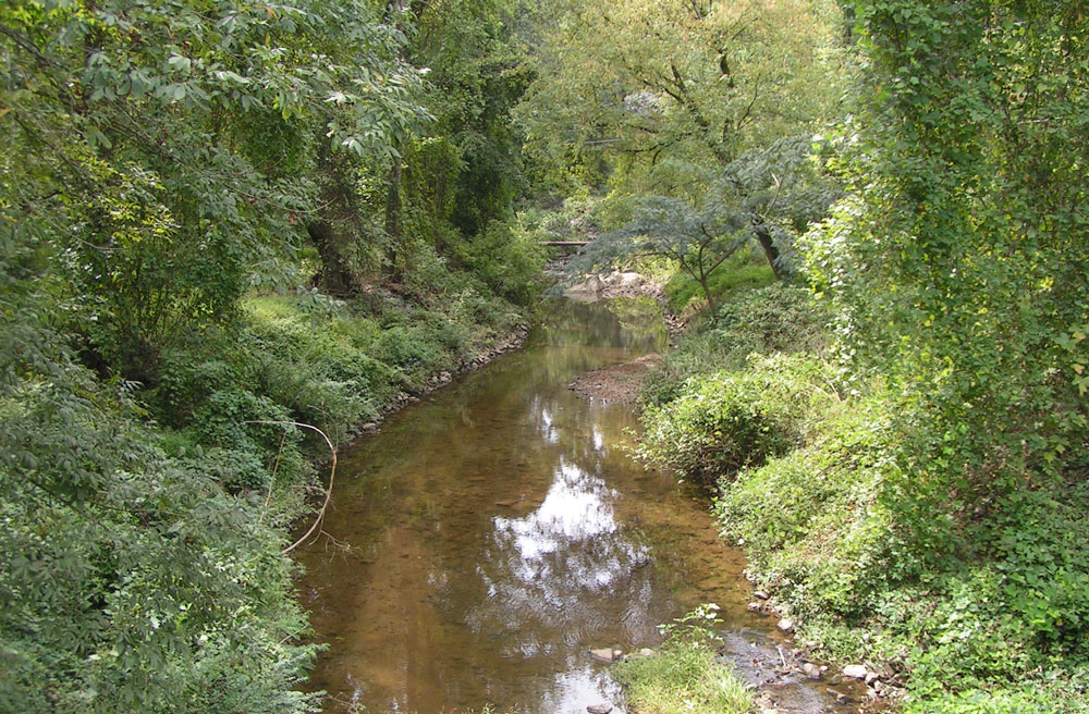
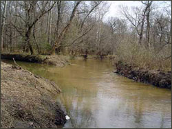
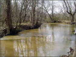
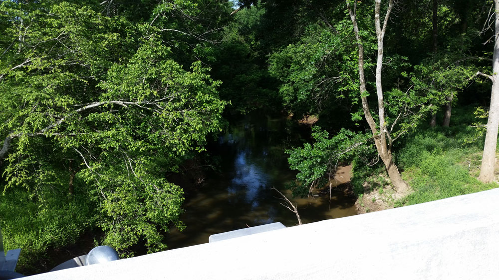
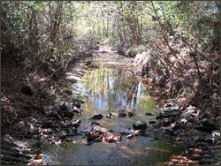
Stream Gage Photos

0212393300 - W. Branch Rocky River below mouth of S. Prong River
Upstream
0212393300 upstream photo
Downstream
0212393300 downstream photo
Gage
0212393300 gage photo

02124080 - Clarke Creek
Upstream
02124080 upstream photo
Downstream
02124080 downstream photo
Gage
02124080 gage photo

0212414900 - Mallard Creek below Stony Creek
Upstream
0212414900 upstream photo
Downstream
0212414900 downstream photo
Gage
0212414900 gage photo

02124269 - Back Creek at SR 1173
Upstream
02124269 upstream photo
Downstream
02124269 downstream photo
Gage
02124269 gage photo

0212427947 - Reedy Creek at SR 2803
Upstream
0212427947 upstream photo
Downstream
0212427947 downstream photo
Gage
0212427947 gage photo

0212430293 - Reedy Creek below I-485
Upstream
0212430293 upstream photo
Downstream
0212430293 downstream photo
Gage
0212430293 gage photo

0212430653 - McKee Creek at SR 2804
Upstream
0212430653 upstream photo
Downstream
0212430653 downstream photo
Gage
0212430653 gage photo

0212466000 - Clear Creek at SR 3181
Upstream
0212466000 upstream photo
Downstream
0212466000 downstream photo
Gage
0212466000 gage photo

0212467451 - Goose Creek at SR 1524
Upstream
0212467451 upstream photo
Downstream
0212467451 downstream photo
Gage
0212467451 gage photo

0212467595 - Goose Creek at SR 1525
Upstream
0212467595 upstream photo
Downstream
0212467595 downstream photo
Gage
0212467595 gage photo

02142654 - McDowell Creek
Upstream
02142654 upstream photo
Downstream
02142654 downstream photo
Gage
02142654 gage photo

0214265808 - Torrence Creek at Bradford Hill Ln
Upstream
0214265808 upstream photo
Downstream
0214265808 downstream photo
Gage
0214265808 gage photo

0214265828 - McDowell Creek Trib at SR 2131
Upstream
0214265828 upstream photo
Downstream
0214265828 downstream photo
Gage
0214265828 gage photo

0214266000 - McDowell Creek
Upstream
0214266000 upstream photo
Downstream
0214266000 downstream photo
Gage
0214266000 gage photo

0214266080 - Gar Creek at SR 2074
Upstream
0214266080 upstream photo
Downstream
0214266080 downstream photo
Gage
0214266080 gage photo

02142900 - Long Creek
Upstream
02142900 upstream photo
Downstream
02142900 downstream photo
Gage
02142900 gage photo

02142914 - Gum Branch
Upstream
02142914 upstream photo
Downstream
02142914 downstream photo
Gage
02142914 gage photo

0214291555 - Long Creek
Upstream
0214291555 upstream photo
Downstream
0214291555 downstream photo
Gage
0214291555 gage photo

0214295600 - Paw Creek at Wilkinson Blvd.
Upstream
0214295600 upstream photo
Downstream
0214295600 downstream photo
Gage
0214295600 gage photo

0214297160 - Beaverdam Creek above Windy Gap Road
Upstream
0214297160 upstream photo
Downstream
0214297160 downstream photo
Gage
0214297160 gage photo

02146211 - Irwin Creek at Statesville Avenue
Upstream
02146211 upstream photo
Downstream
02146211 downstream photo
Gage
02146211 gage photo

0214627970 - Stewart Creek at State Street
Upstream
0214627970 upstream photo
Downstream
0214627970 downstream photo
Gage
0214627970 gage photo

02146285 - Stewart Creek at West Morehead Street
Upstream
02146285 upstream photo
Downstream
02146285 downstream photo
Gage
02146285 gage photo

02146300 - Irwin Creek
Upstream
02146300 upstream photo
Downstream
02146300 downstream photo
Gage
02146300 gage photo

02146315 - Taggart Creek at West Boulevard
Upstream
02146315 upstream photo
Downstream
02146315 downstream photo
Gage
02146315 gage photo

02146330 - Sugar Creek at Arrowood Road
Upstream
02146330 upstream photo
Downstream
02146330 downstream photo
Gage
02146330 gage photo

02146348 - Coffey Creek
Upstream
02146348 upstream photo
Downstream
02146348 downstream photo
Gage
02146348 gage photo

02146381 - Sugar Creek at NC 51
Upstream
02146381 upstream photo
Downstream
02146381 downstream photo
Gage
02146381 gage photo

0214640410 - Little Sugar Creek below 36th Street
Upstream
0214640410 upstream photo
Downstream
0214640410 downstream photo
Gage
0214640410 gage photo

02146409 - Little Sugar Creek at Medical Center Drive
Upstream
02146409 upstream photo
Downstream
02146409 downstream photo
Gage
02146409 gage photo

02146420 - Little Sugar Creek at Hillside Avenue
Upstream
02146420 upstream photo
Downstream
02146420 downstream photo
Gage
02146420 gage photo

0214642825 - Briar Creek
Upstream
0214642825 upstream photo
Downstream
0214642825 downstream photo
Gage
0214642825 gage photo

0214643770 - Briar Creek at Independence Boulevard
Upstream
0214643770 upstream photo
Downstream
0214643770 downstream photo
Gage
0214643770 gage photo

0214643820 - Edwards Branch at Sheffield Drive
Upstream
0214643820 upstream photo
Downstream
0214643820 downstream photo
Gage
0214643820 gage photo

0214643860 - Briar Creek below Edwards Branch
Upstream
0214643860 upstream photo
Downstream
0214643860 downstream photo
Gage
0214643860 gage photo

02146449 - Briar Creek at Providence Road
Upstream
02146449 upstream photo
Downstream
02146449 downstream photo
Gage
02146449 gage photo

0214645022 - Briar Creek above Colony Road
Upstream
0214645022 upstream photo
Downstream
0214645022 downstream photo
Gage
0214645022 gage photo

0214645075 - Tributary to Briar Creek at Colony Road
Upstream
0214645075 upstream photo
Downstream
0214645075 downstream photo
Gage
0214645075 gage photo

0214645080 - Tributary to Briar Creek at Runnymede Road
Upstream
0214645080 upstream photo
Downstream
0214645080 downstream photo
Gage
0214645080 gage photo

02146470 - Little Hope Creek at Seneca Place
Upstream
02146470 upstream photo
Downstream
02146470 downstream photo
Gage
02146470 gage photo

02146507 - Little Sugar Creek at Archdale Drive
Upstream
02146507 upstream photo
Downstream
02146507 downstream photo
Gage
02146507 gage photo

02146530 - Little Sugar Creek
Upstream
02146530 upstream photo
Downstream
02146530 downstream photo
Gage
02146530 gage photo

0214655255 - McAlpine Creek at SR 3150
Upstream
0214655255 upstream photo
Downstream
0214655255 downstream photo
Gage
0214655255 gage photo

02146562 - Campbell Creek
Upstream
02146562 upstream photo
Downstream
02146562 downstream photo
Gage
02146562 gage photo

0214657975 - Irvins Creek at SR 3168
Upstream
0214657975 upstream photo
Downstream
0214657975 downstream photo
Gage
0214657975 gage photo

02146600 - McAlpine Creek at Sardis Road
Upstream
02146600 upstream photo
Downstream
02146600 downstream photo
Gage
02146600 gage photo

02146614 - McAlpine Creek at Colony Road
Upstream
02146614 upstream photo
Downstream
02146614 downstream photo
Gage
02146614 gage photo

02146670 - Four Mile Creek
Upstream
02146670 upstream photo
Downstream
02146670 downstream photo
Gage
02146670 gage photo

0214668150 - McMullen Creek above Lincrest Place
Upstream
0214668150 upstream photo
Downstream
0214668150 downstream photo
Gage
0214668150 gage photo

02146700 - McMullen Creek at Sharon View Road
Upstream
02146700 upstream photo
Downstream
02146700 downstream photo
Gage
02146700 gage photo

02146750 - McAlpine Creek below McMullen Creek
Upstream
02146750 upstream photo
Downstream
02146750 downstream photo
Gage
02146750 gage photo

0214676115 - McAlpine Creek at SR 2964
Upstream
0214676115 upstream photo
Downstream
0214676115 downstream photo
Gage
0214676115 gage photo

0214678175 - Steele Creek at SR 1441
Upstream
0214678175 upstream photo
Downstream
0214678175 downstream photo
Gage
0214678175 gage photo

0214685800 - Six Mile Creek
Upstream
0214685800 upstream photo
Downstream
0214685800 downstream photo
Gage
0214685800 gage photo